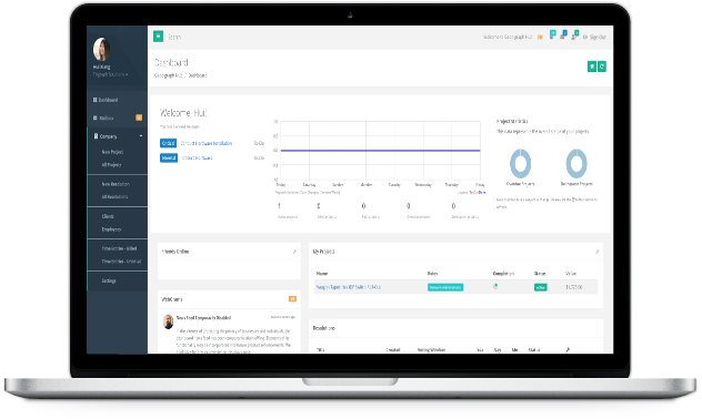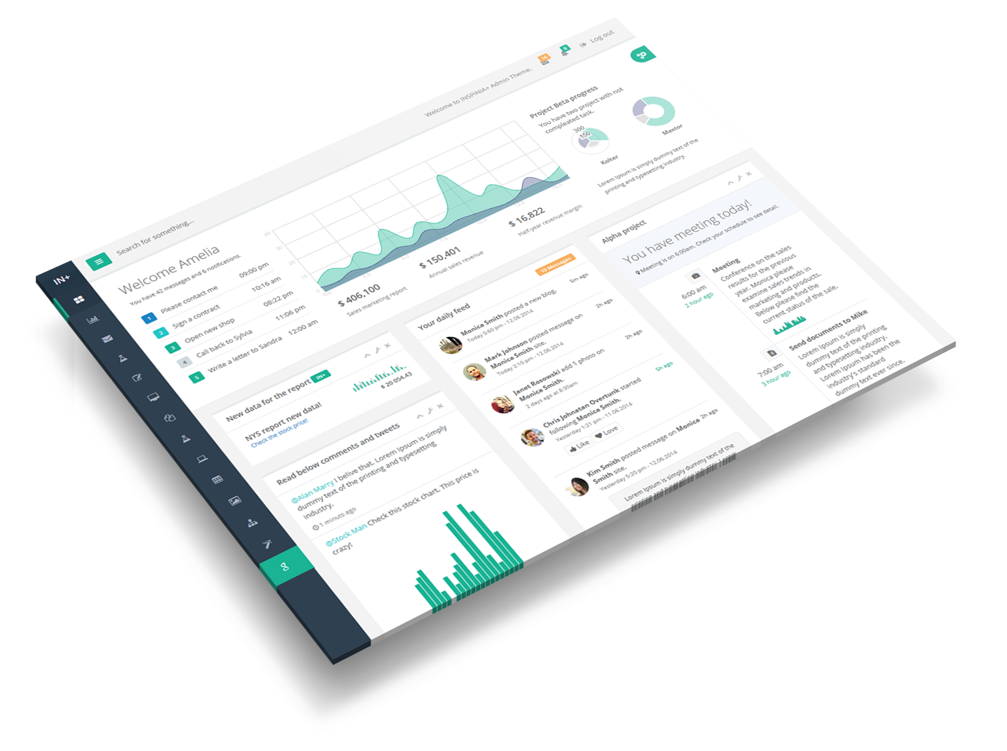
Project management, collaboration, business management, time collection, cooperative governance. Geodigraph Hub brings humanity into focus for functional communities.
Drone imagery orthorectification. Mapping. Vector layers. GIS. Geodigraph Model makes geographic data visualization and browsing intuitive, without exhorbitant costs.
Intuitive Android®-based geographic data collection in true 3D. Collect ground points in the unmatched fidelity of EC-EF coordinates. Fully integrated with Hub and Model. Coming Soon.
Can't gather the data and imagery yourself? Allow Geodigraph's team of GIS professionals to gather it for you, with rapid digital delivery and transparent project management.
Geodigraph Software makes it all possible.
With Geodigraph Model, high-res drone imagery can be visualized on an interactive map.
Import and overlay vector layers for land parcel management and geographic asset tracking.

Manage projects. Vote on resolutions. Engage with your community.
Our simplified Kanban board doesn't require a project management degree to use.
Our dedicated team of experts are here to help.

An eighteen-year software development veteran, John architects the code for all Geodigraph Software products.

As the president of Geodigraph Software, Anthony brings decades of land surveying and geodetic experience to the Geodigraph team.

A highly qualified project manager, Joseph helps us refine workflows in Geodigraph's products.
Our team is always available to our clients! Please feel free to contact us at any of the above social media links.
Or follow us on these social platforms
© 2019 Geodigraph Software
All rights reserved in the United States and other countries.